Our Work

Where Technology Meets Purpose

At Virtual Space, every project is a collaboration—combining design, data, and innovation to solve real-world challenges. Below is a selection of work that showcases the range and impact of what we do across education, architecture, cultural heritage, and tech.

3D Modeling & Visualization

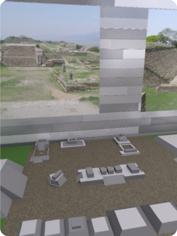
We create 3D environments, renderings, VR/AR applications, and 3D printed models to visualize spaces, isolate design challenges, and reduce project costs through precision.
📍 Applications: Architecture, Construction, Museums

IoT Integration

Leveraging Raspberry Pi and Arduino, we develop custom Internet of Things (IoT) solutions to streamline data collection and create smart, responsive systems across environments.
📍 Applications: Education, Public Installations, IT Systems

GIS Data Systems

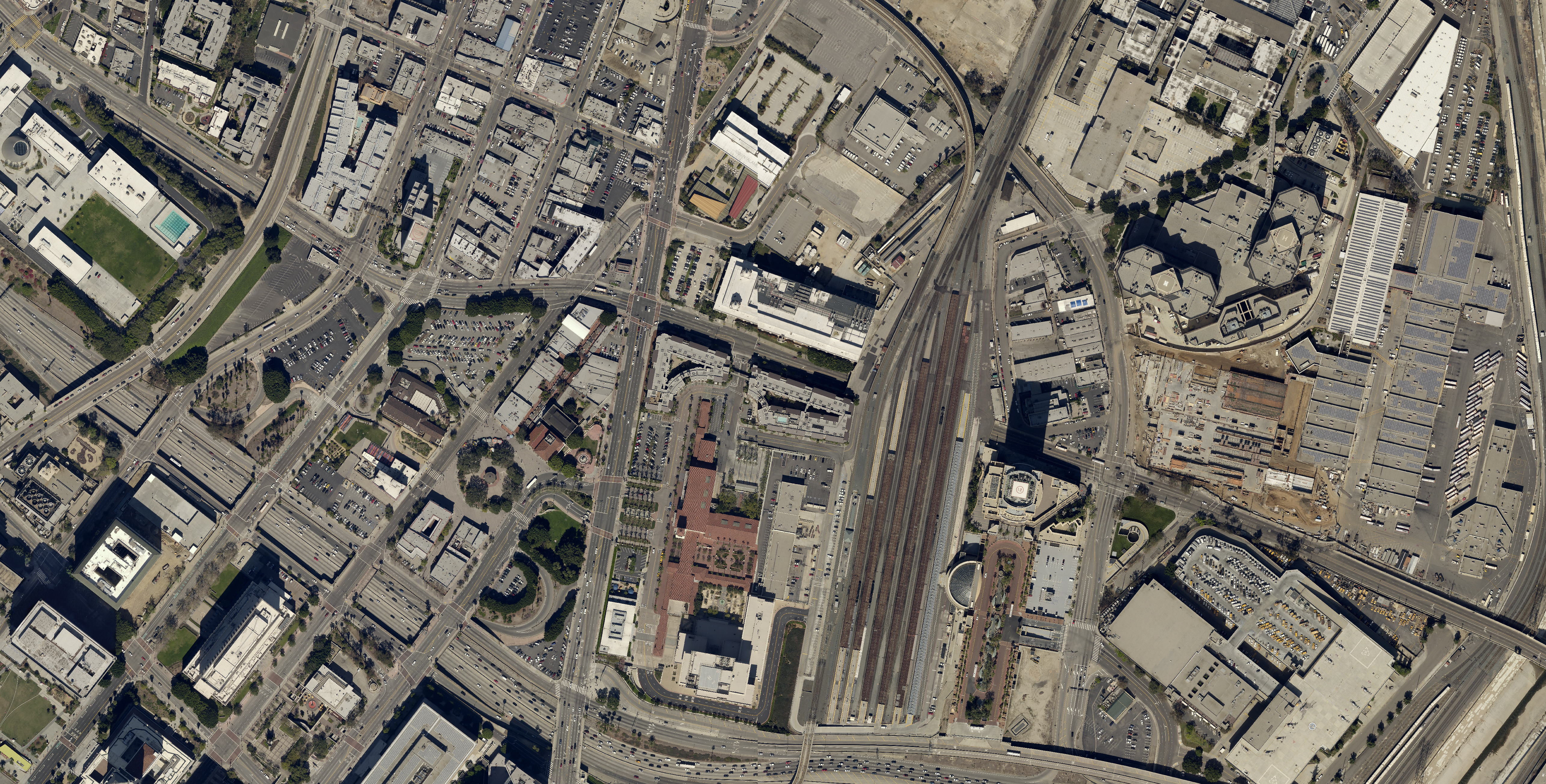
We build interactive GIS tools and geospatial datasets to help clients visualize, analyze, and act on location-based data for smarter planning and storytelling.
📍 Applications: City Planning, Education, Research

AR: Jacal Learning App

An augmented reality experience designed to teach the cultural architecture of Jacals—traditional shelters used by Indigenous communities. Created in collaboration with El Museo de los Yaquis in Sonora, Mexico.
📍 Applications: Cultural Education, Museums

AR: Mesquite Tree Explorer

This AR tool explores the anatomy and cultural significance of the Mesquite tree, a vital resource in the Sonoran Desert. Users interactively learn about its survival benefits and Indigenous uses.
📍 Applications: Environmental Education, AR Storytelling

Eco-Learning Center

A tech-enabled educational hub promoting sustainability through gardening, hydroponics, and community-based learning. Designed to engage young minds with interactive systems.
📍 Applications: Schools, Community Spaces, Green Tech

Explore More From Our Studio - Virtual Space One

For architecture, space planning, and production design
With over 18 years in the construction and design industries, VS One collaborates with architectural firms, developers, and builders to create detailed, build-ready plans and 3D visualizations that improve communication and client satisfaction.

Learn More

GIS & Historical Data Mapping

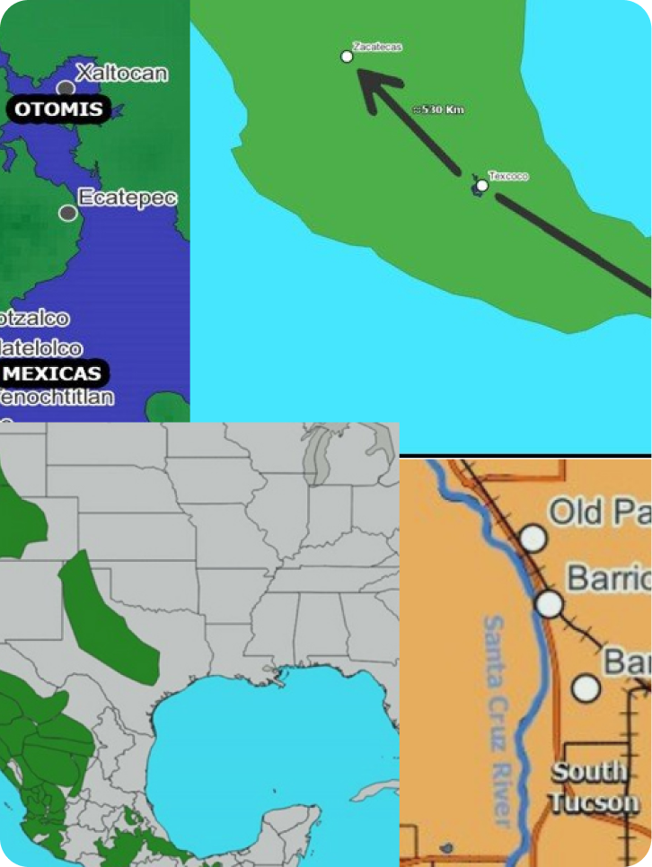
Our projects use Geographic Information Science (GIS), 3D reconstruction, and data management to map, model, and preserve cultural landscapes. These methods allow us to accurately document environments and artifacts while working alongside experts in anthropology, history, and Native studies. Geospatial data collection and visualization Reconstructive 3D modeling of cultural artifacts and spaces Historical data integration across AZ, CA, NM, MX (Sonora, Sinaloa, Puebla, and more)

3D Modeling & Data Management

We convert literature, field data, and environmental scans into detailed 3D environments, stored and managed for accessibility and analysis. These tools are crucial in construction, cultural preservation, and immersive education.

VR: Step Into the Past

Our VR applications let users explore historical sites at full scale—immersing them in time periods and places reconstructed from research and field data.